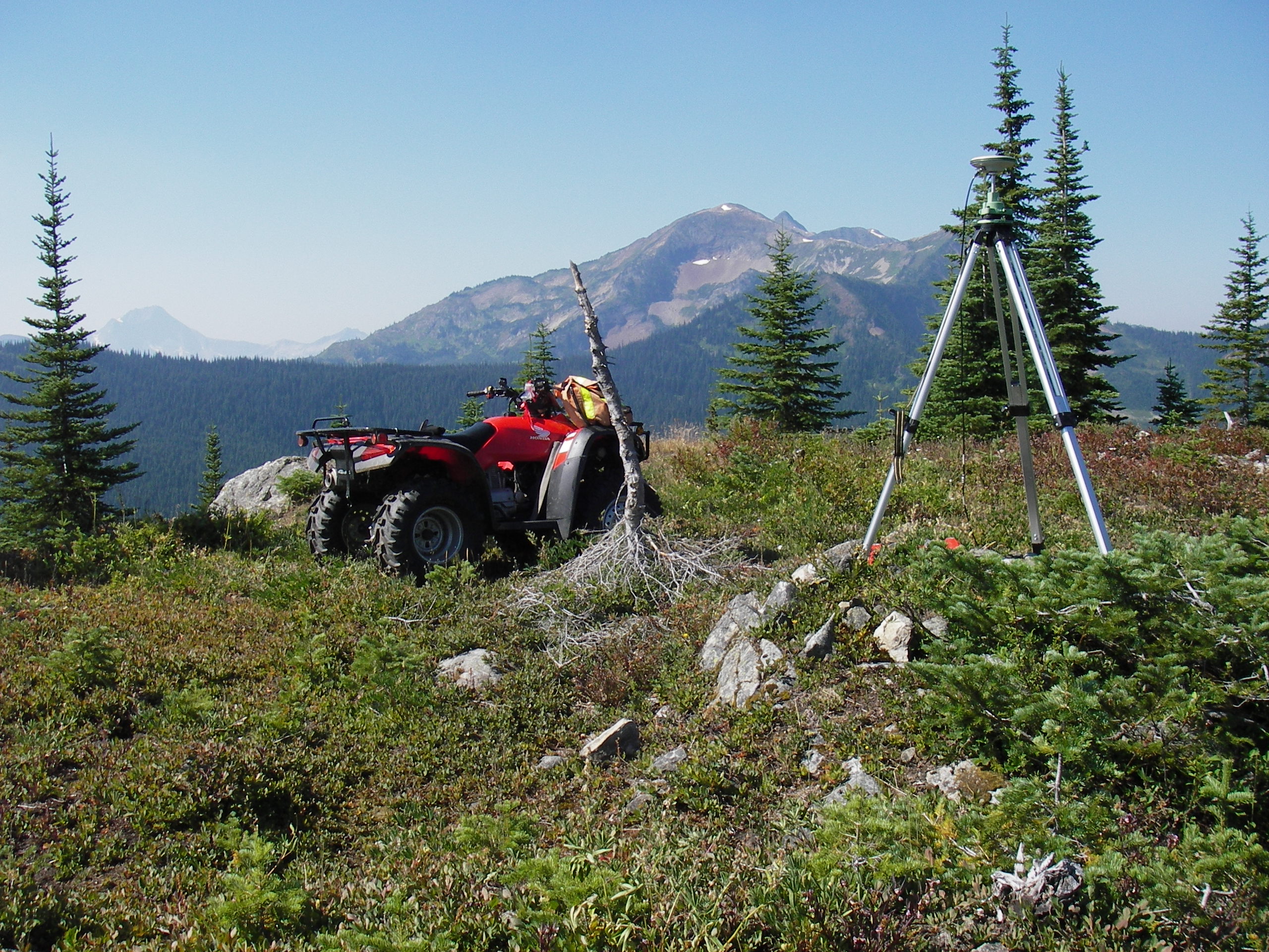
Surveying in Canada
Professional land surveying in Canada is regulated by individual statutes in the ten Canadian provinces and by the Canada Lands Surveys Act for Canada Lands. In general, Canada Lands consist of the Northern Territories, Indigenous Reserves, National Parks and Canada’s Offshore areas.
The practice of Land Surveying in Canada is generally defined as:
- the determination, establishment or recording by any means of the positions of points, natural features or features made by persons on, over or under the surface of the earth
- the determination of the form of the earth
- to determine, locate, define, describe, establish or re-establish boundaries
it includes the preparation of maps, plans, systems and documents and the giving of advice with respect to any of the matters above.
In order to practice land surveying at the professional level in Canada, an individual must be commissioned and/or licensed by the provincial surveying association in the province where one wishes to practice; and in the case of Canada Lands, by the Association of Canada Lands Surveyors.
